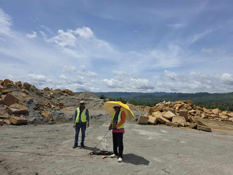
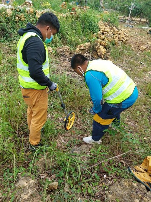
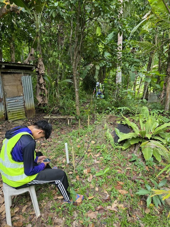
MT Geophysical Survey · Philippines
Precision
Equals Success.
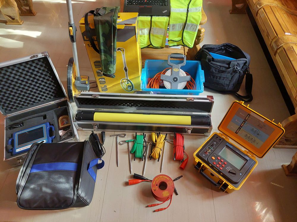
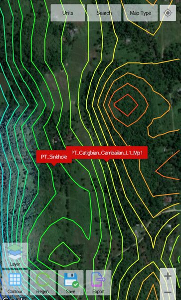
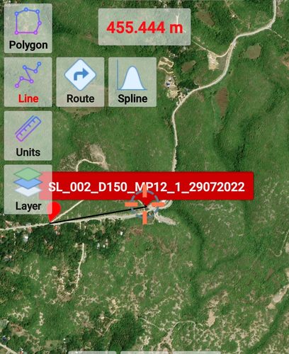
We fuse PQWT and ADMT resistivity data with GPS to deliver a confidence-rated drill target — pinned on Google Maps, backed by field data.
6–20+
Sites confirmed
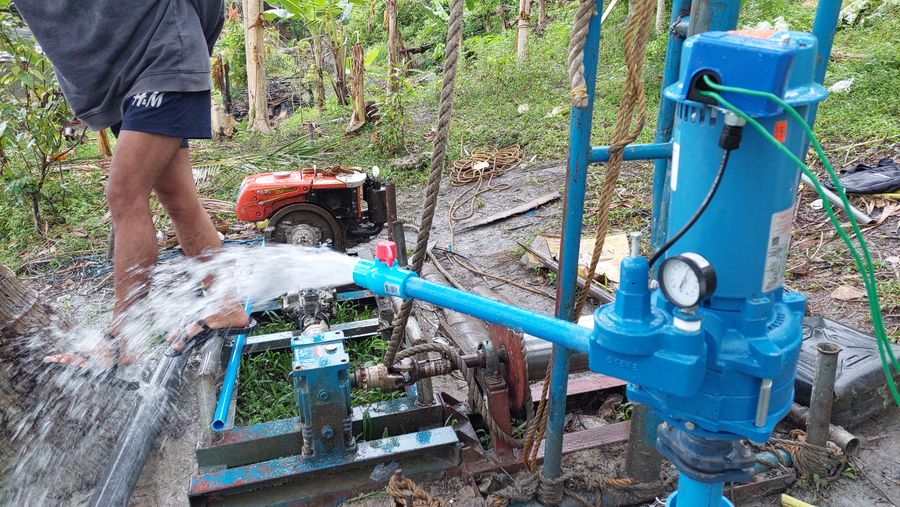
200m
Max depth
2
Pro instruments
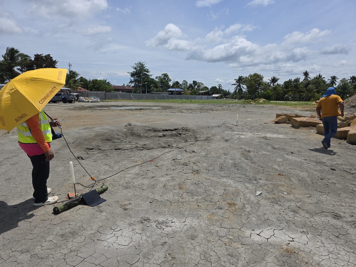
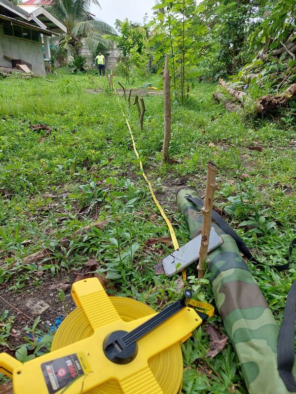
ACTIVE SURVEY · BOHOL, PH